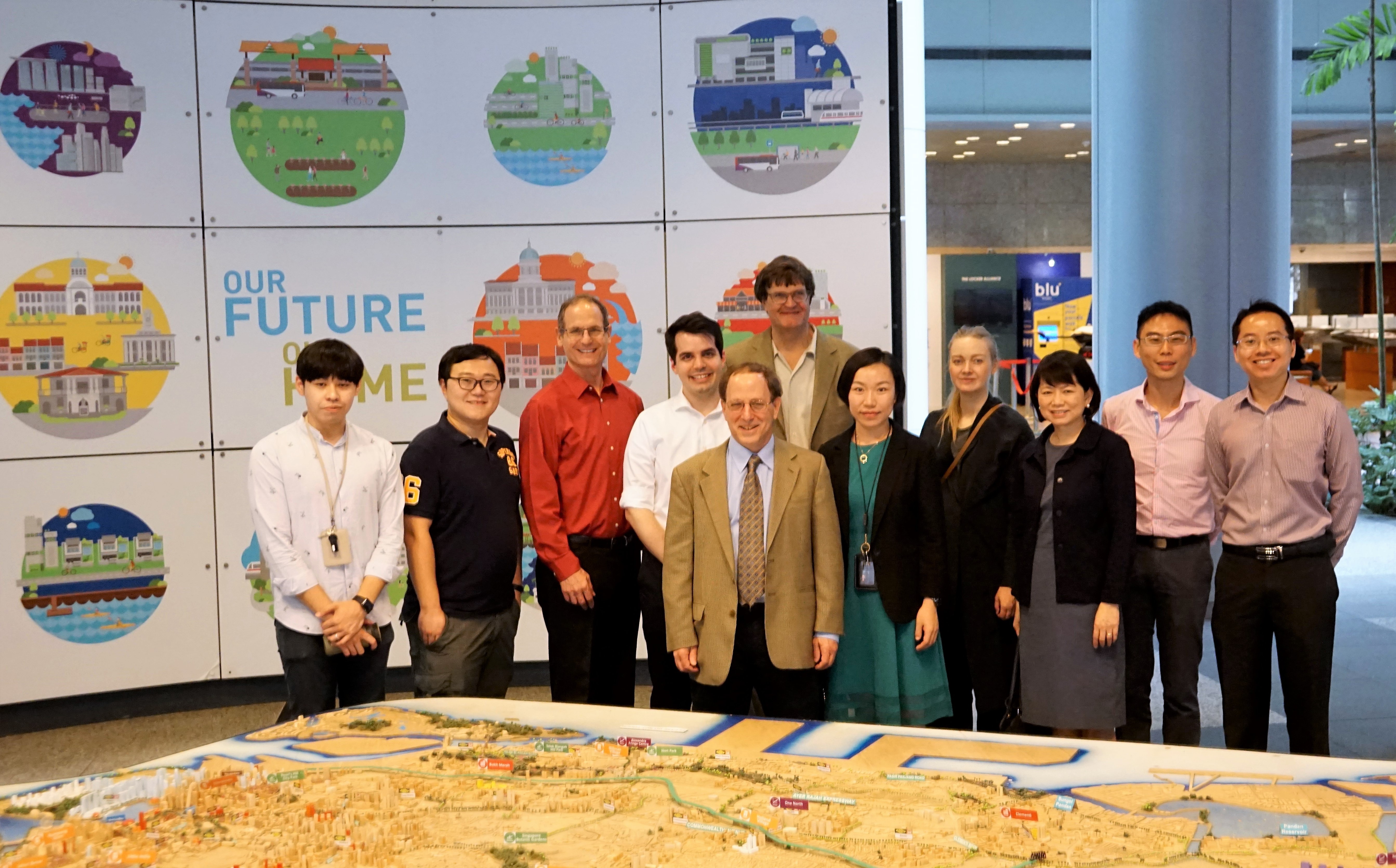
By Jeremy Chan
SMU Office of Research & Tech Transfer – In the video game SimCity, players can create sprawling metropolises and observe how their ‘citizens’ interact with one another and their environment. In this virtual world, good urban planning is rewarded with socioeconomic progress, while mismanagement can cause a virtual city to collapse under internal and external pressures.
Despite being just a game, SimCity underscores the fact that decisions made in the present can significantly alter the growth trajectory of a city and shape the future of a society. Across the globe, real-world urban planners are making similar planning decisions, and unlike in SimCity, there is no restart button for the work they do. In Singapore, the task of creating a distinctive and liveable home falls to the Urban Redevelopment Authority (URA), the country’s land use planning and conservation authority.
In 2013, acknowledging that in this digital age, harnessing geospatial and data analytics can help to strengthen and facilitate planning processes, URA set up its Digital Planning Lab (DPLab).
DPLab has played a key role in the development of various in-house digital tools that help derive data to guide planning decisions. Such tools help planners proactively identify and address gaps in provisions of specific infrastructure and amenities. This ultimately leads to better planning outcomes for people and businesses.
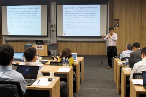
“Over the past few years, URA has been actively working on creating more integrated data sets and making better use of advanced analytics such as geospatial analysis. This help us enhance the planning process such that we can deliver better outcomes for citizens and businesses,” said Mr Huang Zhongwen, Director of the Information Systems and Geospatial Group’s Digital Planning Lab department at URA, speaking at a workshop co-organised with the Singapore Management University (SMU) on 10 December 2018.
Integrating insights
Using data and empirical models to supplement ground feedback, enables planners to identify more optimal planning solutions, Mr Huang said.
“The Digital Planning Lab was set up in 2013. Today, it plays an important role in helping URA and its partners leverage data and technology in urban planning,” said Mr Huang.
The lab integrate data across a wide range of government agencies. Using ePlanner, which is a one-stop geospatial application developed in-house, planners can easily overlay different sets of information, such as population, housing density, commute flows and park provision, visualised in an intuitive way on a digital map of Singapore. With such information at their fingertips, planners from the relevant ministries can gain a better understanding of the situation and issues on the ground.
“Such a platform brings many agencies, who are looking at things from a different perspective, onto a common reference, allowing them to think about solutions more holistically,” explained Mr Huang. “Today, we have a much deeper understanding of issues, not just at the national level, but on a more localised level as well.”
Understanding the nuances
However, simply visualising a problem does not necessarily lead to an understanding of its underlying causes. Especially in a small, and highly developed country like Singapore, issues relating to urban planning have evolved to be highly complex and interdependent, shared Professor Steven Miller, Vice Provost (Research) of SMU.
“50 years ago, Singapore’s urban problems were more visible and obvious – you just had to look out the window to see what needed to be done to address urban squalor and overcrowding. Now, Singapore has a well-developed infrastructure and a much higher standard of living. The urban planning challenges we face today and in the future are subtler and non-obvious. Everything is more intricately interrelated; the subtleties, hidden structures and dynamics over time are very important and can only be seem and understood through analytics and visualisation,” Professor Miller said.
To highlight the complexity of urban planning, Mr Huang gave the example of where people live and work. While some may choose to live closer to their workplaces to avoid long commutes, where people live is also influenced by other factors such as the availability of suitable housing, proximity to family support, and preferences for certain neighbourhoods. Factors such as the nature of the jobs available also influence where people choose to work.
SMU Celia Moh Chair Professor of Economics, Professor Phang Sock Yong, also highlighted the possible price differential of flats located in the suburbs, as well as the location of schools, as factors that have some degree of influence over a resident’s decision on where to live and work.
Planning for the future
In addition to making sense of the present, URA also adopts a long-term and comprehensive approach to urban planning. The formulation of strategic plans, such as the Concept Plan and Master Plan, guide the country’s physical development over the medium and long term. Such plans also entail testing out future scenarios.
“We [URA] have been putting a lot of effort into our descriptive analytics, but in terms of predictive and prescriptive analytics, we certainly want to do better,” said Mr Huang, adding that models capturing policy trade-offs could be immensely useful as well.
To capture trade-offs, however, measurable parameters are important, said Professor William Strange, an esteemed urban policy economist at the University of Toronto, who was visiting the workshop at the invitation of SMU’s School of Economics.
“The first thing to look at is the wellbeing [of citizens] and whether it is improved. In order to get measures of welfare, you’re going to need prices or some other form of metrics. That’s where we economists can help,” he added.
Plugging the gaps
An expert in the spatial organisation of economic activities in relation to land and housing markets, SMU Assistant Professor Li Jing sees strong complementarity between her research and URA’s analysis for urban planning in Singapore. She suggests that SMU researchers provide URA with ideas for the better integration of disparate data sets and volunteer structural modelling methods, paired with accurate and well-maintained administrative data.
“Data from various sources could be better integrated to identify the determinants of comprehensive general equilibrium outcomes,” she explained. “For example, perhaps we could look at helping to produce counter-factual analysis for various policy outcomes even before the policies are implemented.”
Because ultimately, urban planning is a process of optimising a limited resource – land, and the decisions made about land use today will have an impact on generations to come.
“At the end of the day, what we want to know is how we can grow the city in a sustainable way – to make sure that every single investment that goes into public infrastructure and amenities brings maximum benefit to the country’s people and businesses,” Mr Huang concluded.
Back to Research@SMU February 2019 Issue
The Urban Redevelopment Authority (URA) is Singapore's land use planning and conservation agency. Our mission is ‘to make Singapore a great city to live, work and play’. We strive to create an endearing home and a vibrant and sustainable city through long-term planning and innovation, in partnership with the community.
To better integrate planning work across agencies and better anticipate and respond to ground needs, URA leverages on geographical information system (GIS) technology, big data analytics and digital modelling tools. To learn more about URA, sign up for monthly updates at ura.sg/subscribe; follow us on LinkedIn; or visit www.ura.gov.sg
See More News
Want to see more of SMU Research?
Sign up for Research@SMU e-newslettter to know more about our research and research-related events!
If you would like to remove yourself from all our mailing list, please visit https://eservices.smu.edu.sg/internet/DNC/Default.aspx

